| County of Fairfax Historical Map Features on Land Grant Surveys |
|
by Debbie Robison November 5, 2008 |
| MAP INTRODUCTION |
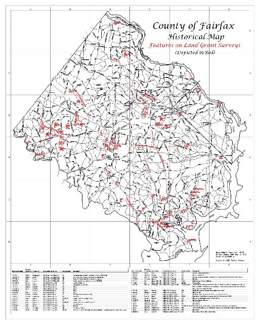
| The following County of Fairfax Historical Map depicts features shown on original land grant surveys dating back to the early 1700s and up to the early 1800s. Original surveys were identified using information found in the book Beginning at a White Oak: patents and Northern Neck grants of Fairfax County, Virginia by Beth Mitchell. Surveys not found online on the Library of Virginia website were pulled from their microfilm in Richmond. The surveys were scanned and then scaled so that the historical features, such as roads and houses, could be digitized and plotted on the Historical Map. |
| Eighteenth-century surveyors didn't necessarily plot roads and house locations accurately. No matter how the surveyor plotted the features, that is how they are shown on the map. No attempt was made to align roads with existing streets, since roads were very frequently altered. The purpose of the map is to promote an understanding (or interpretation) of early settlement patterns. |
| A 24x30 map is available in Adobe pdf format. |
|
